I just use Google Maps on my android cell phone on the handle bar. Good enough for where I ride mainly in SW FL
, W NC, E TN.

, W NC, E TN.
Follow along with the video below to see how to install our site as a web app on your home screen.
Note: This feature may not be available in some browsers.
Here's an in-depth look at the iPhone 14's satellite capabilities, along with a comparison to the inReach system, and how a PLB compares to both.
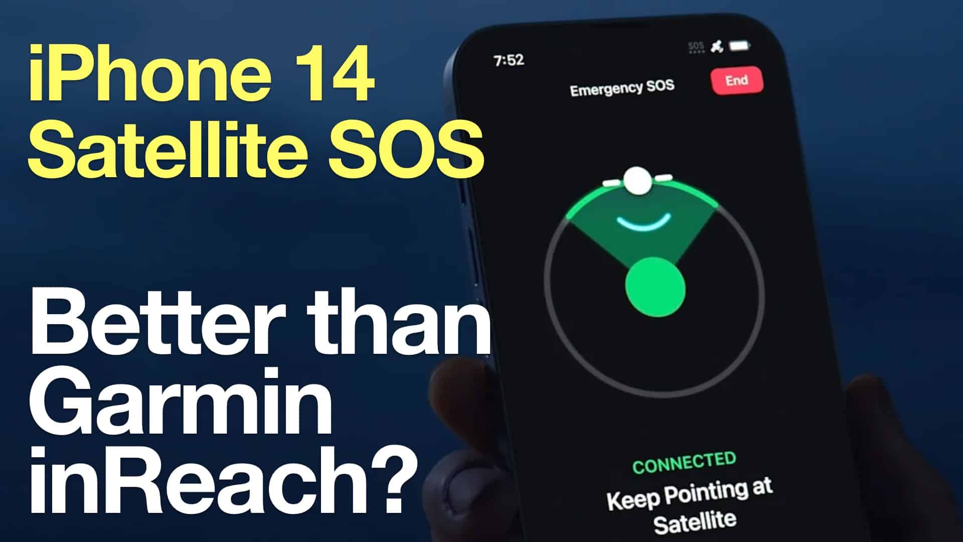
iPhone 14 Emegency SOS vs Garmin inReach - Which is best for you?
A real-world test and recommendations on whether a iPhone 14 with satellite Emergency SOS or a Garmin inReach device is besthikingguy.com
There are more details in the video, but it's basically the same information. I think Cris does a great job on his reviews and field testing.
I need voice for emergency stuff, I'd never (like to) try and have an sms-conversation with 911 or similar.
 www.cycleworld.com

 www.bikerandbike.co.uk
I've been tracking this thread for almost a year now. Both options seem like decent choices but neither really fits the specific use case I am looking for. Then a few days ago I stumbled on this little guy, and it looks perfect for my needs. I'm already aware of what it can and can't do, and since it suits my needs pretty well as advertised, my main question is just this: does it perform as advertised? Does anyone here have one?
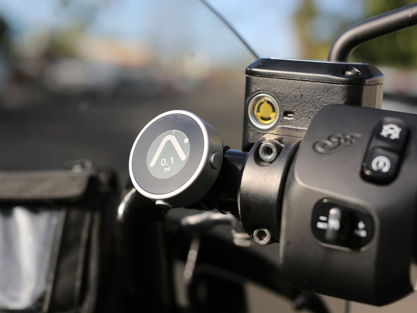
Beeline Moto Navigation Review
Minimal motorcycle navigation designed to fit on any bike and be easily read at a glance.
Review: Six months with the Beeline Moto motorcycle navigation system | Biker & Bike
The Beeline Moto motorcycle navigation system takes a different approach to mainstream sat navs. Jock McJock tests it over six months in the UK and Europe.
Cris digs into these topics more than most. He has dozens of other in-depth reviews and hikes on his site. When he ventures to offer an opinion, it's usually based on his experience with the gear in the field, not a press release.
At the end of the video, Cris mentioned T-Mobile & ATT plan to offer some form of 5G connectivity with satellites in the near future. Between the iPhone 14, 5G-satellite, and Starlink all coming online around the same time, I think things will change in the market. In particular, I don't hear much about SPOT any more; I never thought their hardware looked as durable as Garmin's. Competition from phones may push Garmin to adopt some of the features they can enable through software, but I don't believe any of their inReach products have an accelerometer.
As use ramps up, if there are problems with Apple's distributed emergency call center approach, I hope they dump it in favor of an equivalent to the IERCC. IERCC's supported device list is heavy with Garmin products (they own the service), but others use it, like Inmarsat and ZOLEO devices.
As cool as it is having a smartphone that can access satellites, I wouldn't solely rely on one for emergency signaling because of power and durability issues. I carry a small ACR PLB on my person, an inReach enabled navigation unit on the bike, and an Android phone. I have the PLB from the Before Times when inReach was a glimmer in Delorme's defunct eyes, otherwise I probably would just have an inReach + phone.
Otoh, if my phone could access satellites, adding a PLB might be a smart way to go. No fees for a rugged little device, with decades of reliability behind the International Cospas-Sarsat Programme. Replace the battery every 5-7 years as recommended, and it should deliver at least 24 hours of service when activated.
Make sure your side by side testing includes riding in a good rain shower, riding when its really hot and sunny outside (100+) and riding with gloves on. I will be interested in what your thoughts are after your testing.While I am no fan of Garmin, I am comfortable using the Montana as my only means of navigation.While in motion it works well even with gloves on and the screen is adequate for my needs.
However I feel like I need to start transitioning away from Garmin so am considering mounting an Android next to the Montana for my next trip. Kind of wean myself slowly approach.
It will also give me something to dink around with while I wait for this rain to go away.
I find myself using both on long rides more often than not. Google Pixel on the left, Montana 650 on the right. Both have their quirks and I think I have a preference. I am curious to hear how your experiment goes.While I am no fan of Garmin, I am comfortable using the Montana as my only means of navigation.While in motion it works well even with gloves on and the screen is adequate for my needs.
However I feel like I need to start transitioning away from Garmin so am considering mounting an Android next to the Montana for my next trip. Kind of wean myself slowly approach.
It will also give me something to dink around with while I wait for this rain to go away.
Anything with a capacitive "multi-touch" screen fails.Make sure your side by side testing includes riding in a good rain shower, riding when its really hot and sunny outside (100+) and riding with gloves on. I will be interested in what your thoughts are after your testing.
So the phone fails one test, before testing even starts?Anything with a capacitive "multi-touch" screen fails.
The screen on the montana (and old gps units in general) is one of the pro's, although plenty of folks complain about them, lacking "pinch to zoom" and whatnot.

Buttons are nice, but rubber tends to wear out (esp. when exposed to the elements).So the phone fails one test, before testing even starts?
I love my Garmin XT especially in bright sun light. That said for dirt use and quick day rides I use my almost 10 year old Montana a lot still. Heck I even still use my real old 60CX and 76CX on shorter rides, or rides that I may be doing a lot "button" pushing because I much prefer buttons to touch screens especially on rougher terrain.
")
You pretty much summed up all my concerns.Make sure your side by side testing includes riding in a good rain shower, riding when its really hot and sunny outside (100+) and riding with gloves on. I will be interested in what your thoughts are after your testing.