What's new

- Week Riding part of the FHAT, Kansas

Jay547

Well-known member
Joined
Mar 18, 2022
Member Number
878
Posts
220
Location
Tulsa
Emporia, Kansas FHAT Ride June 16th and 17th, 2023

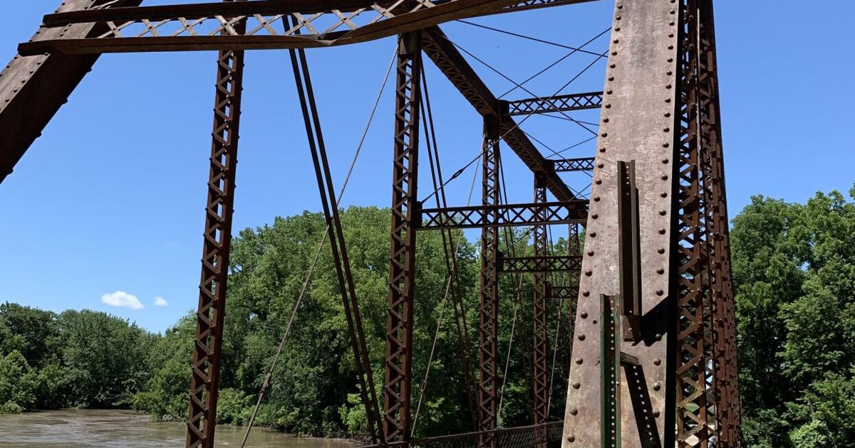
FHAT (Flint Hills Adventure Tour) is a multi-day route of mostly dirt roads around the Flint Hills of Kansas. Being an Okie, I had ridden part of the southern leg but never had the time to do more. I had a work seminar to attend on Friday, June 16th. It was in Emporia, Kansas which is just about right in the middle of the FHAT. I checked the forecast which looked favorable and decided to take my bike and ride some of the route. I would be out of class by 3:00 on Friday so I could ride a few hours before dark. I would then stay the night and ride all day Saturday. I picked out some portions of the route and a few side trips to see some historical sites.

I began Friday’s ride by heading northwest toward Council Grove. This is Lake Kahola which is a water supply lake for the City of Emporia.

WUl7Chq.jpg


5HmrYBQ.jpg


eUMLbVx.jpg


Lots of minimum maintenance roads here. Just the way I like it.

qdiS4fS.jpg


Juan Padilla monument, the first American martyr.

rAV8yxR.jpg


iP4z7XV.jpg


9FZADxd.jpg


EbxXM17.jpg


The Custer Elm in Council Grove. General Custer camped here in 1867.

jyQHC5T.jpg


ImwmB8Y.jpg


OPa1l2b.jpg
 
Southeast of Council Grove is the site of the last Kaw Indian village before their removal to Oklahoma in 1873. These are the ruins of the Kaw Indian Agency. They were having a Pow Wow in the park next to the ruins but I didn’t go in.

RSGZa6T.jpg


I found this cool, old gas station and school gymnasium in Dunlap.

0tSD0lG.jpg


gQA9DpC.jpg


WfWXWhw.jpg


An arch bridge on Kahola Creek.

RkaCGqT.jpg


An old country school.

4TWYAh1.jpg


8chEpWG.jpg


The town jail in Americus.

hQURb11.jpg


Ogkiq0y.jpg


UH0tGmJ.jpg


This was the last stop on my Friday ride.

I9H1fbJ.jpg
 
Saturday, I started the day with a painfully average breakfast at Huddle House.

xjAlqU5.jpg


The motel let me leave my truck in their truck parking area for the day.

h8skBC7.jpg


This day, I headed east from Emporia.

k8TryMa.jpg


I stopped at the town park to see the war memorial and arch bridge.

dQ66h8E.jpg


Z3qMzjq.jpg


SEFBEMP.jpg


More minimum maintenance roads. An excellent way to start the day.

FSIEnET.jpg


The haunted Rocky Ford Bridge over Cottonwood River, the scene of a murder.


D1BFACe.jpg


YO8QuEs.jpg


Another country school, Mound Ridge.

PEZnmhL.jpg


ZccpNxw.jpg


HZpRpyj.jpg
 
The Hoosier Creek Community Center, established 1927.

MgmTN7P.jpg


Ey7xPLU.jpg


More minimum maintenance roads.

6svUjME.jpg


And a Kansas surprise as I rode through this “mud” puddle. It turned out to be a manure spill and my bike and gear smelled very bad the rest of the day.

PIvoSko.jpg


apuqC9Q.jpg


Roadside memorial crosses to four area youth who were killed here in a car wreck.


MvFSXMN.jpg


Some wooden crude oil tanks.

r0bADtz.jpg


The bypassed and abandoned bridge over Homer Creek. Built 1905.

4TpPUMp.jpg


HweonqN.jpg


3hjovyM.jpg
 
Long, lonely roads are in abundance here.

b62lKCr.jpg


Another bypassed and abandoned bridge on Homer Creek, near the town of Neal. I had to ride through a corn field to get to this one. This one was so well barricaded that I couldn’t get on it.

DVOPoCd.jpg


Ace2e7d.jpg


Old Hwy. 54.

AlHa0QF.jpg


There used to be a bridge here on Fall River. The kid was bow-fishing for gar. He said he hadn’t seen any yet.

F305mcC.jpg


FRJ5S02.jpg


I spotted this concrete structure up on the hill and decided to ride up to it. It turned out to be an old water storage facility. I could see for miles up here.

LsvsqZq.jpg


3aW8uwY.jpg


cfW66W4.jpg


SGcYVvF.jpg


Road Closed. It wasn’t, but I had to wander around and back-track a little to find my way through the oil lease roads and out to the next county road.

Uu3M39B.jpg
 
I had a visitor while stopped on this stone bridge.

kKugZap.jpg


ihj2BAZ.jpg


The 1921 Upper Fall River Lutheran Church.

gEeyvEV.jpg


ewlSXVm.jpg


The grave of James Teter.

wbhG961.jpg


i1o5NM2.jpg


Teter Rock. James Teter constructed a rock monument in the late 1870’s to guide pioneers through the Flint Hills. It could be seen for miles. When oil was discovered in the area during the 1920’s, the rocks were used to construct buildings for the oil-boom town of Teterville. In the 1950’s, Teter’s relatives placed the upended monolith at the location to honor him.

(My favorite pic of the ride)

GqOr9O3.jpg


There’s nothing left of Teterville but some old foundations and cellars.

S2jRMzN.jpg


HsAsTI9.jpg


Browning School, closed and abandoned, then burned when a controlled burn got out of hand.

LxMmVBl.jpg


sg7C5Bx.jpg


qRiToTm.jpg


Z4GNwwm.jpg


a29yoHl.jpg
 
A bypassed low water crossing south of Madison.

3sQeo9c.jpg


Restored vintage Gulf Station in Madison.

9jyxtGA.jpg


It was getting late, I was hot and tired, and still had a 3 ½ hour drive home. I just wanted to get back to the truck and get on the road. Of course, I had to wait for a slow train.

tNhCnP9.jpg


pjBWraW.jpg


I got home about 9:30. I unloaded my bike and gear but couldn’t find my SPOT Tracker. I got a flashlight and looked under the seats, in the door pockets, console, and glove box, but never found it. I figured it must’ve fallen out when I stopped for gas. That night we had 90 mph winds, heavy rain, and some hail. The next morning after the storm had passed, I went out to look in my truck again. There it was in the dirt/mud next to the driveway. It survived the storm, so I guess they really are waterproof.

uTJTord.jpg
 
Heck of a nice ride report. Thanks for sharing!

If you ever want company up here in the Flint Hills shoot me a message. I am about 20 minutes north of Council Grove.
 
Top Bottom Back Refresh